A window of opportunity
Put simply, our weather is all about which ‘bit’ of the atmosphere we fall underneath at any given time.
The general situation puts various pieces into place, and the weather evolves from there.
At the start of this week, we’re dealing with low pressure, and ‘cold’ air above our heads. At around 5km above the surface, temperatures were around -30 to -35C on Monday. This is perfectly common, but it creates an unstable situation, because the fall of temperature with height is rapid. The result - rising air and convective clouds, producing showers, with snow and hail rattling in from the Atlantic on the gale force westerly winds.
However, by midweek, we’re dealing with high pressure, and ‘less cold’ air above our heads. Up at 5km, values will be a balmy -20C on Wednesday. Again, a perfectly typical weather scenario. The presence of higher pressure causes air to sink ever so slowly. This then creates a stable situation, where an inversion begins to form. The result - layers of low level cloud, or fog forming the valleys, but also scope for sunshine and generally dry conditions.
This basic footprint of the atmosphere gives us the first clue about what lies ahead, but there’s plenty more complex puzzle pieces to put in the mix before we can create a full weather forecast - wind strength, humidity at different elevations, air-mass temperature and so on.
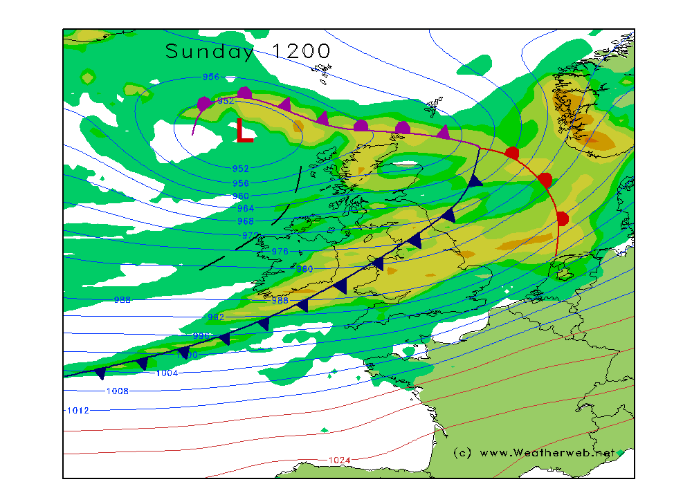
The presence of high pressure at least does mean we've got a lull in the weather ahead. Make the most of the midweek lull if you can though, because there's more stormy weather brewing!


