By MWIS ambassador Richard Davison:
On Wednesday 18 November, I recalibrate my altimeter watch to 220m (the altitude of our house) in the evening. At breakfast the following morning, it reads 132m. As promised, the increase in pressure overnight has arrived. We have a brief ridge of high pressure in amongst a conveyor belt of fronts from the Atlantic. The air is due to be cold, from the north, but the weather should be bright and clear in the Perthshire hills from mid-morning onwards before the next front rolls in.
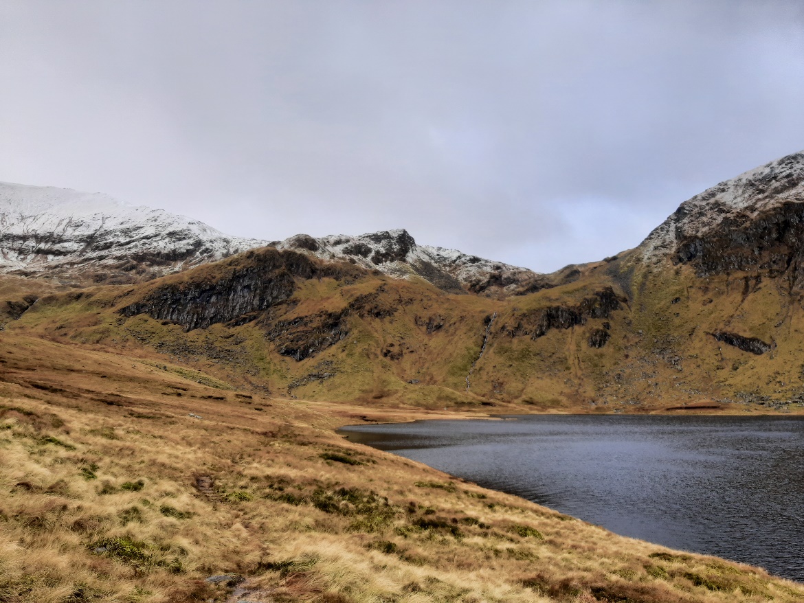
We decide to explore the eastern side of Ben Lawers, parking in Lawers village and walking up past the old shielings (some of which are located at 670m on the south-facing and mineral rich soils) to Lochan nan Cat. This area is much quieter than the “trade route” up from the NTS car park.
As forecast, it is cold but the wind is pretty strong and there is more cloud than we expected. After some brief sunny spells, the cloud decides to build up as we head up the path. By the time we reach the lochan, at about 700m, it is very cold, the cloud has thickened and there are brief snow flurries in the air. Welcome to a brief ridge of high pressure in winter!
As we head back down, in the afternoon, the weather starts to clear. Suddenly, the air is crystal clear but it lasts all of two hours before cloud comes in from the west.
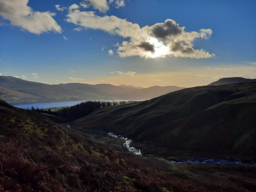
There was a promise of good weather, with some high pressure coming in, on Thursday 26 November. Most forecasts indicated a W to NW wind direction with clearer conditions in the Eastern Grampians. It was cloudy as we drove down to Kirkmichael and Glenshee, with only a few brief breaks further east. Our walk was up Finalty Hill, a fine hill with some great views into Caenlochan, and the weather was good:
A few miles further west, though, the cloud was building up and lowering to cover hills such as Beinn a’ Ghlo and Schiehallion. Shortly after, the clouds started to touch the top of Glas Maol and came over the top of Creag Leacach. With increasing cloud cover and the wind picking up from the W, it turned colder.
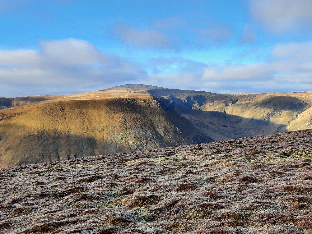
Whilst high pressure usually means good weather, it can also be fickle with more cloud and stronger winds than what is often the case with high pressure. This is particularly so in winter and when the ridge of high pressure is a transient one, being moved along by a weather front. Cloud can build up surprisingly quickly, suddenly making careful navigation necessary – just when the wind picks up and the temperature drops. Being prepared for lots of eventualities is a good motto!
Richard Davison, Perthshire Treks
Richard has been exploring the mountains and experiencing mountain weather for over 40 years. He did a PhD about snow supply in the Scottish mountains and remains fascinated by summer snow patches. He’s also interested in how climate and the environment has changed in Highland Perthshire since the last Ice Age. After almost 30 years with Scottish Natural Heritage, where one highlight was writing the Scottish Outdoor Access Code with the national Access Forum, he set up Perthshire Treks with his wife, Brenda Clough. Perthshire Treks provides great walking adventures with a focus on small groups in Highland Perthshire. Find out more about us at www.perthshiretreks.scot.